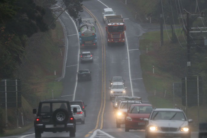
An orange rain warning remains in place for the Bay of Plenty with predictions of more rain.
A humid northeast flow over the North Island is expected to bring more rain to some northern regions. Meanwhile, troughs are expected to affect the west of the South Island through to Friday, says the latest weather update from the MetService.
"A period of rain in parts of Northland, Auckland, Coromandel Peninsula and Bay of Plenty are expected for today into Friday morning.
"There is some uncertainty with the amounts of rain that could accumulate, and this Watch is for the possibility that even though rain amounts may not reach warning criteria it will still cause issues due to the recent heavy rain.
"However for the Bay of Plenty west of Kawerau, there is higher confidence that there will be warning amounts of rain, and an Orange Heavy Rain Warning has been issued. Additionally, a heavy rain Watch has also been issued for Taranaki.
"People are advised to keep up to date with the latest forecasts in case any changes are made, or further areas are added."
Heavy Rain Warning - Orange
Heavy rain may cause streams and rivers to rise rapidly. Surface flooding and slips are also possible and driving conditions may be hazardous.
Area: Bay of Plenty west of about Kawerau, this includes the Rotorua Lakes District, Western Bay of Plenty District and Tauranga City
Valid: 21 hours from 11am Thu 2 Feb to 8am Fri 3 Feb
Forecast: Rain with heavy falls are expected. 70 to 90mm could accumulate. Peak intensities of 10 to 20 mm per hour.
Area: Westland south of Otira
Valid: 31 hours from 9am Thu 2 Feb to 4pm Fri 3 Feb
Forecast: Periods of heavy rain. Expect 200 to 300 mm of rain to accumulate about the ranges, and 70 to 110 mm near the coast. Peak rates of 15 to 25 mm/h about the ranges. Thunderstorms are possible.
Heavy Rain Watch
Area: Eastern Northland south of the Bay of Islands
Valid: 12 hours from 10pm Thu 2 Feb to 10am Fri 3 Feb
Forecast: Periods of rain are possible. Total rainfall accumulations could approach the current lower warning criteria for Northland of 50mm in 12 hours.
Area: Eastern areas of Auckland except for the Hunua Ranges.
Valid: 12 hours from 11pm Thu 2 Feb to 11am Fri 3 Feb
Forecast: A periods of rain is possible. Total rainfall accumulations could approach the current lower warning criteria for Auckland of 50mm in 12 hours.
Area: The Hunua Ranges and the Coromandel Peninsula
Valid: 18 hours from 12pm Thu 2 Feb to 6am Fri 3 Feb
Forecast: Periods of heavy showers or rain are possible. Total rainfall accumulations (around 40 to 60 mm) through the period would not normally be sufficient to issue a Watch, but due to the recent heavy rains these lesser amounts may still cause issues for the region.
Area: Bay of Plenty about and east of Kawerau
Valid: 21 hours from 11am Thu 2 Feb to 8am Fri 3 Feb
Forecast: Rain with heavy falls is expected during Thursday and into Friday morning. This Watch is for the possibility that even though rain amounts may not reach warning criteria it will still cause issues due to the recent heavy rain.
Area: Taranaki
Valid: 21 hours from 6pm Thu 2 Feb to 3pm Fri 3 Feb
Forecast: Periods of heavy rain. Rainfall amounts may approach warning criteria.
Area: Fiordland north of George Sound
Valid: 26 hours from 9am Thu 2 Feb to 11am Fri 3 Feb
Forecast: Periods of heavy rain. Rainfall amounts may approach warning criteria.


0 comments
Leave a Comment
You must be logged in to make a comment.