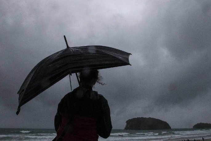
A strong wind and heavy rain watch is now in place for the Coromandel Peninsula as Tropical Cyclone Gabrielle tracks towards New Zealand.
Meteorologists have warned that the latest cyclone is "more likely" than not to directly hit NZ.
Tropical Cyclone Gabrielle is forecast to approach the country early next week, says the latest update from the MetService.
"Tropical Cyclone Gabrielle is located in the Coral Sea and is expected to move southeast towards New Zealand," says a spokesperson for the weather organisation.
"We expected to see impact from this cyclone from Sunday starting in the north and spreading to a wider region early next week.
"Metservice is expecting significant wind, rain and swell from this cyclone.
"This is a widespread, significant weather event, so it is important to keep up to date with the latest Metservice forecasts as watches are likely to be upgraded to Warnings, changes are made and more areas are added."
Heavy Rain Watch Area: Northland and Auckland north of Whangaparaoa Valid: 71 hours from 1am Sun 12 Feb to 12am Wed 15 Feb Forecast: Periods of heavy rain. Rainfall amounts may approach warning criteria during Sunday. However, a more significant period is expected to be from Monday morning through to Tuesday morning, where we may see rainfall amounts of 150 -200mm in 24 hours. Note, this will likely be upgraded to an Orange or possibly Red warning in the coming days.
Area: Coromandel Peninsula Valid: 62 hours from 10am Sun 12 Feb to 12am Wed 15 Feb Forecast: Periods of heavy rain. Rainfall amounts may approach warning criteria during Sunday. However, a more significant period is expected to be from midday Monday through to midday Tuesday, where we may see rainfall amounts of 200-300mm in 24 hours. Note, this will likely be upgraded to an Orange or possibly Red warning in the coming days.
Strong Wind Watch Area: Northland and Auckland north of Whangaparaoa Valid: 66 hours from 6am Sun 12 Feb to 120am Wed 15 Feb Forecast: East to southeast winds may approach severe gale in exposed places. Note, this will likely be upgraded to an Orange or possibly Red warning in the coming days.
Area: Auckland south of Whangaparaoa and Coromandel Peninsula Valid: 42 hours from 6am Mon 13 Feb to 12am Wed 15 Feb Forecast: Southeast winds may approach severe gale in exposed places. Note, this will likely be upgraded to an Orange or possibly Red warning in the coming days.


0 comments
Leave a Comment
You must be logged in to make a comment.