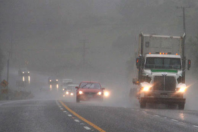
A trough with embedded rain-bands will move northwards over the country on Monday and Tuesday says MetSerivce.
"A strong northwesterly flow precedes the trough and a strong cold and wet southerly flow follows it," says a MetService spokesperson.
"This may bring periods of severe weather to central and southern New Zealand."
MetService says there is high confidence of northwesterly rainfall amounts reaching warning criteria about Fiordland, Westland and Southern Buller (including near the main divide) on Monday, then moderate confidence about other parts of Buller and western Tasman later Monday and Tuesday, then low confidence about other parts of Tasman/Nelson, northern and western Marlborough, and the western North Island from Taranaki to Kapiti on Tuesday.
Southerly rain then spreads north over southern and eastern parts of both islands later Monday through to Wednesday. There is low confidence of warning amounts of southerly rain about Southland and Otago later Monday and Tuesday, moderate confidence about Canterbury and eastern Marlborough on Tuesday and Wednesday, low confidence for Wellington and Wairarapa later Tuesday and Wednesday, and low confidence about Hawkes Bay and parts of Gisborne on Wednesday and Thursday.
Additionally, there is low confidence of northwesterlies reaching severe gale about parts of southern Fiordland, Southland, inland Otago and the Canterbury High Country on Monday, and about the Marlborough Sounds, Wellington, Wairarapa and the Tararua District later Monday and Tuesday.
Strong southerlies develop about eastern areas behind the trough, and there is low confidence of severe southerly gales about eastern parts of Canterbury and Marlborough on Tuesday and Wednesday, about Wellington and Wairarapa late Tuesday and Wednesday, and exposed parts of Hawkes Bay and coastal Gisborne on Wednesday and Thursday.


0 comments
Leave a Comment
You must be logged in to make a comment.