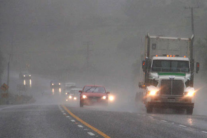
The MetService is reminding people to keep up to date with weather forecasts as heavy rain and damaging winds are expected for Auckland and Northland late today.
Meteorologist Ashlee Parkes says though the weather was fine for most of the country on Saturday an active front approaching New Zealand is going to change the situation.
She says the area that is most at risk is Tasman and Marlborough Sounds, which can expect a warning amount of rain during Monday.
"Keep up to date with the latest forecasts on the MetService website and be aware of your local Civil Defence and anything they have to say."
There is also a slight risk of tornado activity, she says.
"With the thunderstorm activity through Auckland and Northland during the second half of Sunday, rainfall rates between 10 and 25mm are possible, but the biggest danger with those thunderstorms is damaging wind gusts and the small risk of tornadoes."
Parkes also says a heavy rain warning in place for northern Hawkes' Bay and Gisborne will expire Sunday morning.
The region was one of the worst hit areas during Cyclone Gabrielle.
MetService issued orange heavy rain warnings on Saturday for Gisborne and Hawke's Bay, north of Napier.
A wave warning is also in place for parts of the Tairāwhiti coast this weekend.
Combined waves of up to four and a half metres weree xpected from Mahanga to Potikirua Point between midday Saturday and Sunday morning.
"For Auckland including Great Barrier Island and the far north of the Coromandel Peninsula there is a moderate risk of thunderstorms during the evening and at night. These storms may be accompanied by heavy rain, 10 to 25mm/h, small hail, 90km/h wind gusts and there is a chance of localised tornadoes. There is a low risk of one or two severe damaging tornadoes.
"At night there is a moderate risk of thunderstorms for the north of Taranaki, Waikato, the south of the Coromandel Peninsula and the coastal Bay of Plenty as indicated on the chart. These storms may be accompanied by heavy rain, 10 to 25mm/h."


0 comments
Leave a Comment
You must be logged in to make a comment.