A large high to the east of the country, which was responsible for the relatively dry weekend weather, is expected to move away early this week, making way for a front to move up the South Island on Tuesday.
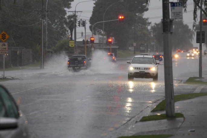
This front will bring a period of heavy rain and MetService has issued Heavy Rain Watches and Warnings for western and northern parts of the South Island.
Heavy rain warnings are in force for the ranges of Westland south of Otira from Tuesday morning, and northwest Tasman from Tuesday afternoon.
Heavy rain watches are in force for Fiordland from Tuesday morning, the headwaters of the Canterbury lakes and rivers from Tuesday morning, the ranges of Buller and Westland north of Otira from midday Tuesday, and the Richmond and Bryant Ranges, the Rai Valley, and northern parts of the Marlborough Sounds from Tuesday evening.
'The front is then expected to bring rain to the lower North Island on Wednesday before it weakens away on Thursday,” says MetService meteorologist Jessie Owen.
The upper North Island can expect to remain under showery northeasterly conditions throughout the week.
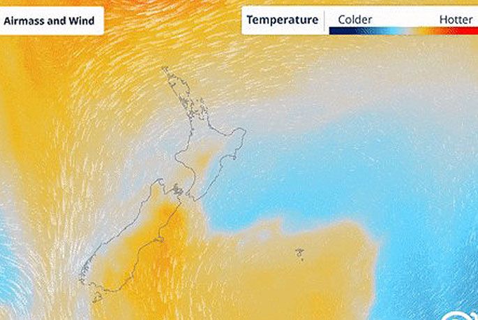
This northeasterly wind flow has another effect: it is dragging warm air from the north down over New Zealand giving rise to warmer than average temperatures for this time of year.
Most noticeable will be the warm minimum temperatures across the North Island.
'There won't be any significant cooling between day and night, it will feel quite muggy overnight.”
Most North Island minimums will be 5-7°C warmer than average, with many places likely to remain in the high teens overnight.
'Autumn is typically a very changeable season and it is not uncommon to see both warm and cold outbreaks at this time of year, this will still be a noticeably warm week ahead.
'If you have already piled up your bed with Winter blankets you'll be needing to put them away again for a while, the muggy air sticks around until a cold front brings a change of airmass over the weekend.
'The east coast of the South Island will be the place to be for outdoor activities this week, once the rain from Tuesday's front passes through they are in line for a few days of settled weather with temperatures around average for this time of year.
'Towards the end of the week an active trough is expected to approach New Zealand, bringing another spell of wet and windy weather.”
There is a risk of heavy rain and northeasterly gales associated with this system (https://www.metservice.com/warnings/severe-weather-outlook) so make sure you keep up to date with latest forecasts at www.metservice.com
 Image: MetService.


0 comments
Leave a Comment
You must be logged in to make a comment.