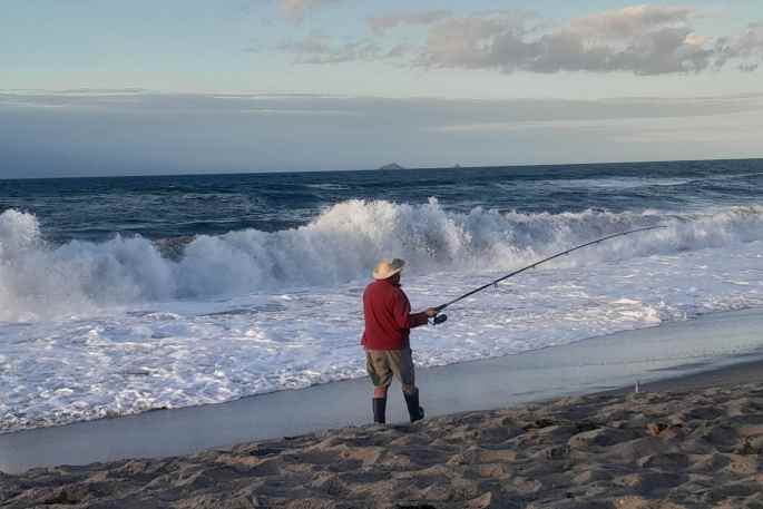
A low is moving over the North Island today bringing rain or showers, with heavy falls for the lower North Island this morning before easing, says a WeatherWatch spokesperson.
"There could be a few areas of instability crop up this afternoon. Meanwhile the South Island is more settled with a ridge of high pressure sneaking in."
The heavy rain will cross through central NZ ahead of a nationwide cold blast on Monday.
Temperatures will take a hit nationwide next week with another cold, windier, surge on Wednesday too. However NZ may not be finished just yet with sub-tropical weather says WeatherWatch.
"We may have another low forming north of NZ late next week worth keeping an eye on - not a storm or severe at this stage – but might bring more milder-than-usual weather to NZ if it does form and track southwards.
Northland, Auckland, Waikato & Bay Of Plenty
Humid with showers, becoming more frequent by midday perhaps turning to areas of rain. Rain becomes heavy for eastern Bay Of Plenty. Late afternoon or evening for Waikato and Bay Of Plenty, showers or rain may be heavy with some thunder, clearing overnight for most, a few showers remain for Bay Of Plenty however. Northerlies, changing southwest later in the day.
Highs: 21-22
Western North Island (including Central North Island)
Heavy rain, easing to showers in the afternoon as northerlies change to the south, there is a chance one or two showers may be heavy with thunder, clearing in the evening.
Highs: 18-21
Eastern North Island
Rain south of Napier with heavy falls and developing southerly winds, a few spits further north with northerlies. Late afternoon or evening southerlies push northwards with some rain moving through while easing further south. With the chance there could be some thunder.
Highs: 18-24
Wellington
Rain, possibly heavy then clearing during the afternoon, there may be some sun before dusk otherwise it's a mostly cloudy day. Southerlies develop in the morning.
Highs: 17-19
Marlborough & Nelson
Morning rain (heavy about Golden Bay and the Sounds) then sunny areas increase in the afternoon, southerlies tend north to northeast after midday.
Highs: 19-22
Canterbury
Morning cloud then sunny spells increase, light winds may tend southwest in the morning then northeast by evening.
Highs: 16-18
West Coast
A mix of sun and cloud, there may be a few early clearing showers for Buller. Fiordland has a few showers during the day. Southwesterly winds.
Highs: 18-21
Southland & Otago
Showers for Southland, becoming less frequent by midday, sunny spells may break through in the afternoon. Otago has similar weather but will be dry, longer sunny areas after midday. Northwesterlies change west to southwest.
Highs: 16-19
In Australia high pressure is the dominant force but plenty of showers is expected in the east from Sydney to Brisbane to Cairns and northwards – this remains next week too. Perth has a colder, windier, southerly change next week, says WeatherWatch.
The Tropics has low pressure from Samoa to the Cook Islands – but this low pressure zone will weaken in the days ahead.


0 comments
Leave a Comment
You must be logged in to make a comment.