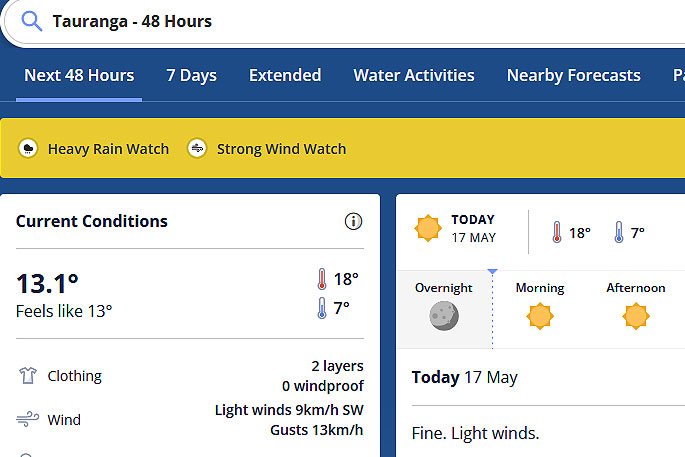
Heavy rain, gales and snow for parts of New Zealand. This is the latest forecast from the MetService.
The weather organisation has issued a fresh bout of weather warnings and watches.
A severe weather watch is currently in place for the Coromandel Peninsula and Bay of Plenty.
"An active front lies slow moving across the lower South Island today and Thursday. This front brings heavy rain to western and southern parts of the South Island. Heavy Rain Warnings and Watches are in force, as well as a watch for heavy snow.
"A deep low lies west of the North Island during Thursday and Friday. An associated front should move across the upper North Island, bringing heavy rain and northeasterly gales.
"Watches for heavy rain and severe gales are in force.
"People are advised to keep up to date with the latest forecasts, as further Watches or Warnings may be added."
 Image: MetService.
Heavy Rain Watch
Area: Northland
Valid: 12 hours from 3pm Thu 18 May to 3am Fri 19 May
Forecast: Periods of heavy rain. Thunderstorms and localised downpours possible. Rainfall amounts may approach warning criteria.
Area: Auckland including Great Barrier Island
Valid: 9 hours from 9pm Thu 18 May to 6am Fri 19 May
Forecast: Periods of heavy rain. Localised downpours possible. Rainfall amounts may approach warning criteria.
Area: Coromandel Peninsula
Valid: 9 hours from 11pm Thu 18 May to 8am Fri 19 May
Forecast: Periods of heavy rain. Rainfall amounts may approach warning criteria.
Area: Bay of Plenty
Valid: 12 hours from 3am Fri 19 May to 3pm Fri 19 May
Forecast: Periods of heavy rain. Rainfall amounts may approach warning criteria.
Area: Westland about and north of Harihari including the Grey District
Valid: 16 hours from 11pm Wed 17 May to 3pm Thu 18 May
Forecast: Periods of heavy rain. Rainfall amounts may approach warning criteria.
Area: Dunedin and Clutha
Valid: 17 hours from 6pm Wed 17 May to 11am Thu 18 May
Forecast: Periods of heavy rain. Rainfall amounts may approach warning criteria.
Area: Southland
Valid: 14 hours from 9am Wed 17 May to 11pm Wed 17 May
Forecast: Periods of heavy rain. Rainfall amounts may approach warning criteria, mainly north of Winton.
Note, lighter rain is expected to continue into Thursday morning.
Heavy Snow Watch
Area: Central Otago and Queenstown Lakes District
Valid: 9 hours from 9pm Wed 17 May to 6am Thu 18 May
Forecast: Rain may turn to snow above 600 metres, with heavy accumulations possible above 800 metres.
Strong Wind Watch
Area: Northland
Valid: 12 hours from 3pm Thu 18 May to 3am Fri 19 May
Forecast: Northeast winds may approach severe gale in exposed places.
Area: Auckland including Great Barrier Island
Valid: 10 hours from 8pm Thu 18 May to 6am Fri 19 May
Forecast: Northeast winds may approach severe gale in exposed places.
Area: Coromandel Peninsula
Valid: 9 hours from 11pm Thu 18 May to 8am Fri 19 May
Forecast: Northeast winds may approach severe gale in exposed places.
Area: Bay of Plenty and Rotorua
Valid: 12 hours from 3am Fri 19 May to 3pm Fri 19 May
Forecast: Northeast winds may approach severe gale in exposed places.


0 comments
Leave a Comment
You must be logged in to make a comment.