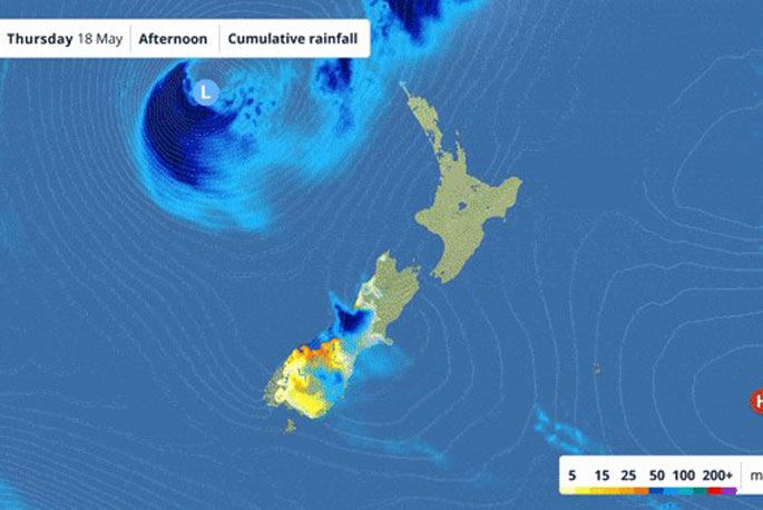
A stormy end to the week for parts of the country is being forecast, due to a deep low and its associated front approaching from the Tasman Sea.
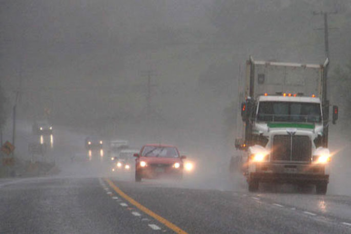
The front moves over first, today, bringing heavy rain and possible thunderstorms.
New Zealand then has a slight reprieve before the low moves across the central North Island with pace, bringing strong winds and showers on the weekend.
"'The low over the Tasman Sea has already been affecting Fiordland, Westland, Otago and Southland during Wednesday and Thursday morning, feeding moisture to the country with heavy rain and snow falling to 800 metres inland," says MetService meteorologist Peter Little.
"Heavy rain should continue to fall in eastern Otago until early afternoon and Westland until evening, and orange warnings remain in place."
Meanwhile, a front tied to the low brings a period of heavy rain and northeast gales to northern New Zealand from Thursday afternoon through to Friday afternoon.
Several Severe Weather Watches and some Warnings have been issued by MetService.
Thunderstorms and localised downpours are also possible, which could cause localised flooding.
 Image: Google Maps.
"The front that moves across the North Island from Thursday afternoon isn't expected to stall, unlike recent heavy rainfall events, and will move quickly southeastwards to lie to the east of the country by Friday afternoon.
"However, surface flooding and slips are still possible even during this shorter rainfall event, as some areas may receive heavy rain due to the tropical moisture and thunderstorms involved."
The low-pressure system is expected to track across the central North Island on Saturday, bringing another round of rain or showers to most regions, along with a period of westerly gales and large wave conditions to northern regions.
"A period of westerly gales will also affect northern parts of the country on Saturday as the low moves eastwards across the central North Island. The gusty westerly winds and already sodden soil, means people are advised to be prepared for power outages due to falling trees disrupting power lines.”
"Rain or showers are forecast for most places on Saturday, with the west of the North Island and Tasman region likely to be the wettest places."
Once the low moves to the east of New Zealand a cooler, unsettled west to southwest flow becomes established.
Frequent showers are likely in the west of both islands through until at least early next week, with showers for eastern areas from time-to-time.


0 comments
Leave a Comment
You must be logged in to make a comment.