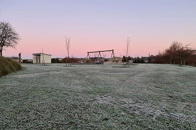
A narrow ridge of high pressure provides a spell of fine and frosty weather for most of New Zealand today.
However, MetService is forecasting a rainy end to the week for northern and eastern parts of the country as a low pressure system and its associated fronts close in.
Central and southern regions wake to another cold and clear day on Friday, with frost expected for many areas south of Waikato.
'After a week of frosty mornings, overnight temperatures should rise for most of the country this weekend as wet and windy weather takes over. For Southland and Otago, however, those cold temperatures are expected to stick around into next week,” saus MetService meteorologist Ngaire Wotherspoon.
A band of rain and strong northeasterly winds move across the North Island and western parts of the South Island on Friday, followed by a showery northwest flow.
By Saturday, a low pressure centre develops on the front and spirals east of the North Island, and by the end of the weekend most corners of the country will have seen some wet weather.
The eastern parts of the North and South Islands will be the areas to watch this weekend, as some could see some heavier bouts of rain.
'While there is still some question as to exactly where the low centre will form, which will determine where the heaviest rain falls, the most likely areas will be along the eastern stretch of the country. Residents are encouraged to keep an eye on MetService.com as the situation develops.”
For those looking to spend their school holidays outdoors, Thursday and Friday morning are looking to have the best weather.
There are also a few good days on the horizon next week as the low moves away.


0 comments
Leave a Comment
You must be logged in to make a comment.