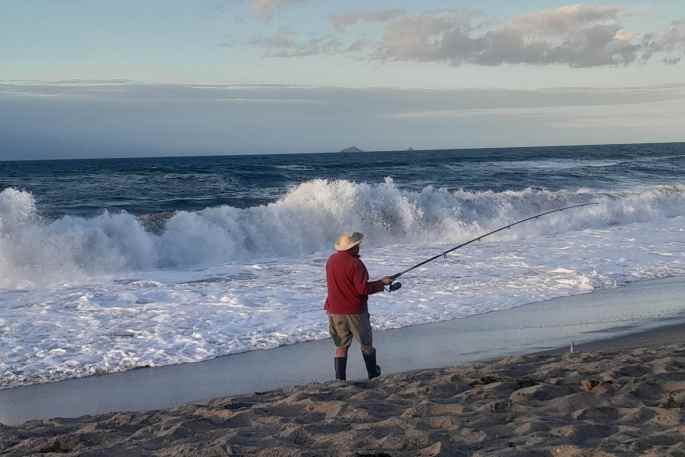
Wind and rain is being forecast for this coming week, with a change to strong, cold southerlies.
"A west to southwest flow covers New Zealand on Tuesday," says a MetService spokesperson.
"With an associated low confidence for warning amounts of rain in Fiordland, and low confidence for severe westerly gales in the south of Southland, including Stewart Island, and Clutha."
On Wednesday, a large trough over the Tasman Sea with an embedded rain band is forecast to move north over the South Island, followed by a change to strong, cold southerlies.
"There is moderate confidence that there could be warning amounts of rain for Fiordland and Westland, and low confidence for warning amount of rain in Buller on Wednesday and Thursday.
"Additionally, there is low confidence that northwest winds could rise to severe gale for a time about high country areas of Canterbury, inland Otago and inland Southland."
In eastern and southern areas of the South Island, a period of rain is expected from Wednesday into Thursday with snow lowering to about 400 metres.
"The duration and intensity of the rain may not be long or heavy enough to approach warning thresholds. However, snow could significantly affect some roads and passes in the South Island."
On Thursday, the trough and associated rain move onto the North Island, but there remains significant uncertainty regarding the distribution of rain and strongest winds on Thursday and Friday.
MetService will continue to monitor the situation.
"However, there is at least low confidence for the possibility of severe southerly gales affecting Wellington and northern and eastern Marlborough."


0 comments
Leave a Comment
You must be logged in to make a comment.