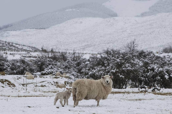
A midweek trough is expected to bring wet weather, wintery temperatures and some snow, according to the latest MetService forecast.
A west to southwest flow currently brings fine weather to most of the country, especially eastern and northern parts of New Zealand.
However, a front passing over Stewart Island and the deep south on on Monday was forecast to bring strong westerly winds there.
“Westerly winds will be strong to gale over Stewart Island and the south coast of mainland Southland. In exposed places severe gales are possible, and a Strong Wind Watch is in place overnight Monday into Tuesday morning,” says MetService meteorologist Alwyn Bakker.
It’s a dry start to the week for much of the country, though showery conditions persist for the west coast of the South Island. Southland and Clutha will also see some scattered showers.
“The North Island and top of the South Island miss out on most of the showers; early this week there is just a small chance of a shower in western parts of the North Island, but you should have a couple of days to get the washing dry.”
Conditions are set to change mid-week as a trough moves up the South Island from late Tuesday, bringing rain and dropping temperatures.
“We expect snow behind the trough, which is good news for southern ski fields, but there could also be a sprinkling for lower levels,” says Bakker.
This weather system is expected to track over the upper South Island and lower North Island on Thursday, as a low pressure centre forms to the west of the country.
“We’ll be keeping a close eye on this system as it makes its way north and refining the forecasts as its impacts become clearer – those in the North Island especially should keep up to date with our forecasts at www.metservice.com, or through our app,” advises Bakker


0 comments
Leave a Comment
You must be logged in to make a comment.