Councils in the Bay of Plenty are in the process of reviewing and updating information about natural hazards in the region.
A Tauranga City Council spokesperson says the city is potentially affected by numerous natural hazards, and it’s important to plan ahead to help prepare for these.
"Like in other parts of the country, we also know that our changing climate may influence the frequency and severity of extreme weather events and associated natural hazards."
As part of this planning, Tauranga City Council and Toi Moana Bay of Plenty Regional Council are reviewing available data about natural hazards to ensure the most up to date information is available for our community.
Updated data on a range of natural hazards will be released over the coming year, and residents will be contacted directly if any natural hazards apply to their property or the area they live in.
New or updated information will include:
-Updated slope hazard data and new landslide susceptibility data.
-New coastal inundation data.
-Updated flood mapping data for some parts of the city.
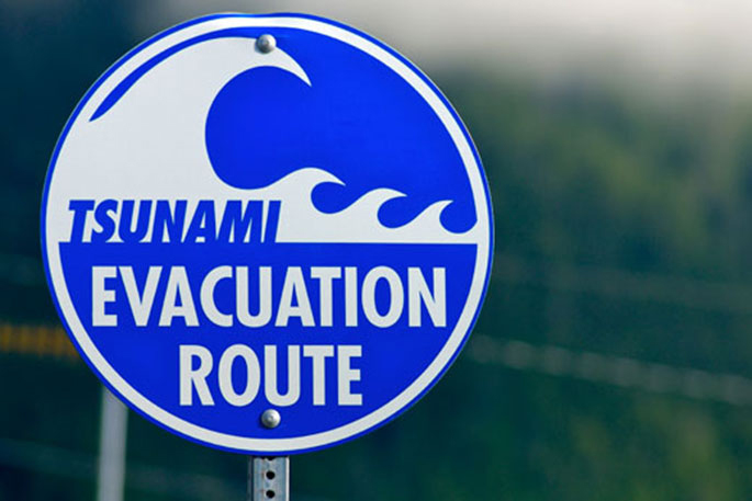
The Bay of Plenty Civil Defence Emergency Management Group also very recently updated the region’s tsunami evacuation maps.
Tauranga City Council infrastructure general manager Nic Johansson says using the latest data means they can work together to make informed decisions for homes, businesses, and communities.
“The more we know about natural hazards, the better we can plan, prepare for, and mitigate their effects as well as make decisions to protect people and property.
“If your home or property is potentially affected by a natural hazard, or the hazard can be triggered by a large-scale event, you will receive a letter. If you are in an area that is potentially affected by multiple natural hazards you will receive a letter for each type of hazard. The letter(s) will explain more about the hazard associated with your property and you will have the opportunity to meet with us to ask questions.”
Updated and new information will also be added to a property’s Land Information Memorandum.
Regional Council integrated catchments general manager Chris Ingle says the BOP is vulnerable to a number of natural hazards, and climate change will only intensify the risk of these occurring.
“It is important our communities understand the natural hazard and climate change risks they live with. The information being released over the next 12 months is critical to this process but also helping to reduce knowledge gaps, ensure future development is resilient and that risks are suitably mitigated.
"It will help establish a common and improved understanding of these natural hazards and inform better decision making that has community safety at the forefront.”
More information about natural hazards can be viewed on council’s webpage.


0 comments
Leave a Comment
You must be logged in to make a comment.