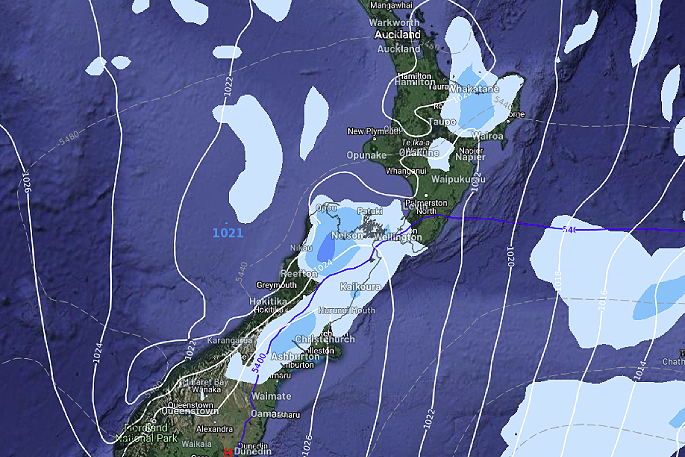
Isolated showers are going to brew up over the interior of the South Island this afternoon, inland Tasman / Nelson / Buller is where the heaviest showers may occur but thunder is not looking likely.
Why? There is an inversion about 4250m up in the atmosphere that will prevent clouds growing any taller, the inversion acts like a lid or “cap” on cloud development, explains WeatherWatch.co.nz
"Thunderstorm clouds typically like to grow a bit taller to develop the characteristics for thunder.
"Exactly the same type of showers form later this afternoon or evening for Eastern Bay Of Plenty.
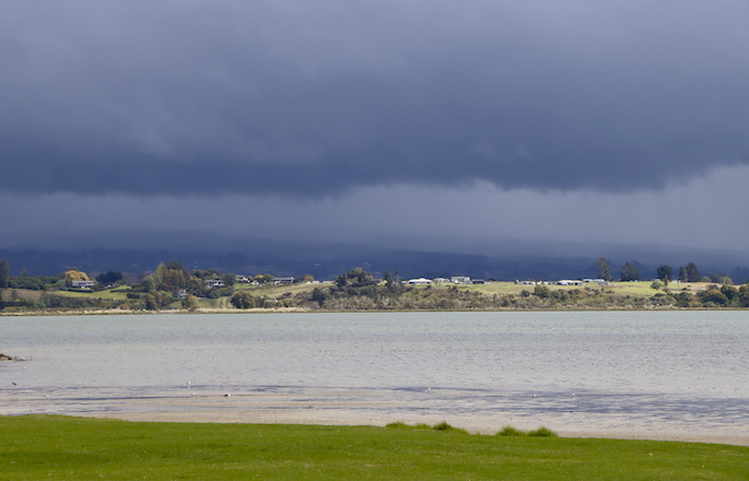
 Showers are on the move around the country today. Images: WeatherWatch.co.nz
Warmest temperatures in the north
WeatherWatch says cloud cover means temperatures are a bit cooler today for the South Island than further north.
"Temperatures for the upper North Island are likely to be in the late teens or early twenties.
"Most of the South Islands sees highs in the mid teens."
High moves in on Friday
A high pressure is still due to move in from Friday, says WeatherWatch, there will be one or two showers around the periphery of the high in the east / northeast but otherwise it is quite settled.
"Saturday is very settled as the high takes control, a northwesterly airflow develops over the South Island on Sunday with the high centre still mainly in charge over the North Island.
"Sunday is still mainly settled though with cloud only really appearing in the far south and for Fiordland, a smattering of high cloud elsewhere."


0 comments
Leave a Comment
You must be logged in to make a comment.