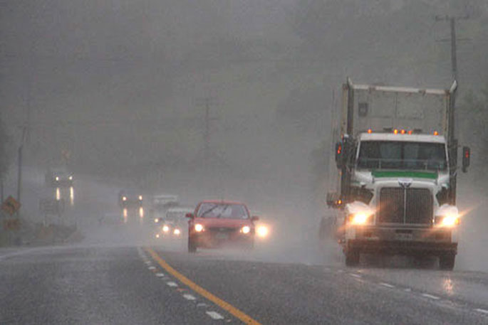
An uptick in weather activity is expected over the next few days across the country as MetService forecasts several frontal weather systems to pay New Zealand a visit.
Heading into the weekend, MetService meteorologist Mmathapelo Makgabutlanea says a low pressure system forms to the northwest of the North Island, slowly moving eastwards across the island, then parking just north of the Bay of Plenty on Monday and Tuesday.
This low pressure system is expected to be the main player in the Island’s wet weather all the way into mid next week.
This spells widespread rain for the northern half of the country this weekend.
“It’s looking like the kind of weekend where any recently sown spring plants won’t have a shortage of water,” Makgabutlane says.
On Monday and Tuesday the wettest weather is expected for Tairāwhiti Gisborne, the Hawke’s Bay and the Wairarapa.
“What’s of particular interest is the way this rain-bringing weather system lingers, increasing the likelihood of higher rainfall for these areas,” Makgabutlane highlights.
“There is still some uncertainty around this weather system, however, so keeping up to date with the latest forecasts will be key over the coming days.”
This low pressure system is not associated with Tropical Cyclone Mal, which was reclassified to a extratropical low today and is expected to continue southeastward away from Aotearoa New Zealand.
Pivoting to the South Island, Saturday brings brighter weather under a narrow ridge of high pressure, and conditions are expected to remain dry for the Queenstown Marathon.
The exception will be the far south that gets clipped by a weak front passing through.
Into Sunday things get a bit cloudier with some showers possible in the second half of the day for eastern and inland areas.


0 comments
Leave a Comment
You must be logged in to make a comment.