El Niño may be technically gone but the weather pattern it created is still with our part of the world.
"By that we mean more high pressure south of Australia and drifting towards NZ, bringing long dry stretches and plenty of west to south west winds," says WeatherWatch head forecaster Philip Duncan.
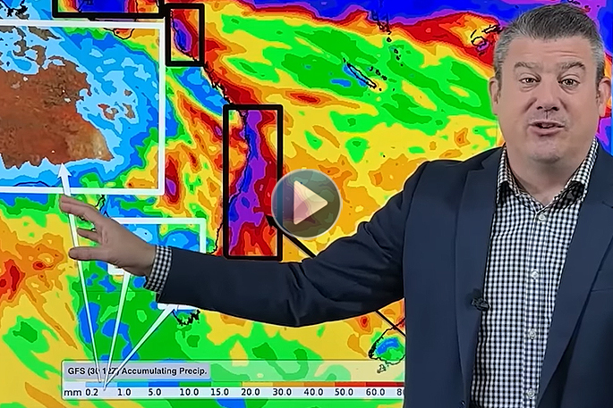
"May looks similar to April with some powerful high pressure zones but also a few cold fronts in the mix.
"The sub-tropics are fairly quiet but the second week of May might see a sub-tropical disturbance that brings some wet weather and windier easterlies to northern NZ (but it's not locked in due to the powerful high pressure zones coming out of Australia and into southern NZ).
"Generally speaking the Neutral pattern we’re in now means there is more variability - but don’t expect any dramatic changes just yet."
Philip says international modelling suggests the neutral phase will last for the rest of winter and possibly well into spring, so talking beyond that is fairly unhelpful at this stage.
He says various models still disagree on what happens later this year.
"So for now we’re best to focus on the upcoming winter and how the fading El Niño weather pattern is going to look.
"May is likely to lean drier than average, but in saying that there's still some follow up wet weather for some regions.
"Despite some cooler days and nights, we still expect May to lean a little warmer than average."

0 comments
Leave a Comment
You must be logged in to make a comment.