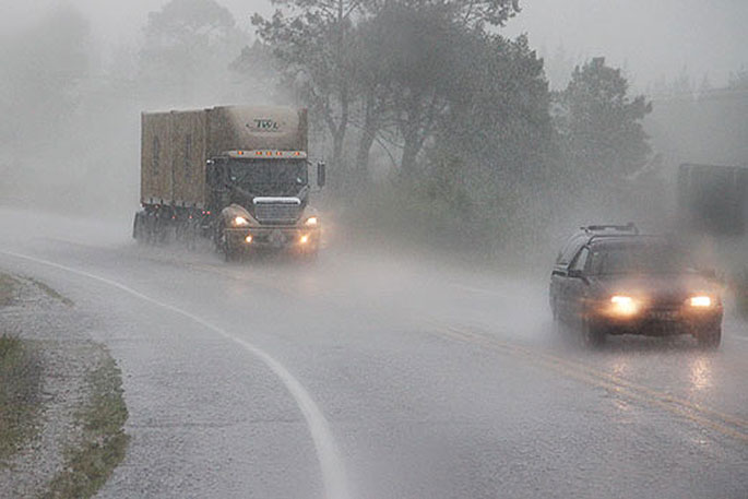
A band of rain is moving onto New Zealand today and MetService has issued heavy rain warnings and watches around the country.
A severe weather warning is in place for the Bay of Plenty and Rotorua regions.
This bout of weather kicks off what looks like a run of generally unsettled weather through into next week.
“With the band of rain moving onto the upper North Island today our Severe Weather team decided there was enough potential for downpours to issue a Severe Thunderstorm Watch covering Northland and Auckland. There are also Heavy Rain Watches in force,” says MetService meteorologist Lewis Ferris.
It's important to note that any downpours associated with the severe thunderstorm watch would be in addition to the widespread rainfall accumulations in the Heavy Rain Watch. As a result, small pockets around Northland and Auckland where downpours occur could experience localised impacts such as flooding and slips.
Bay of Plenty and Tasman are the two regions where widespread rain accumulations look to reach our Heavy Rain Warning criteria so are covered by Orange Warnings.
Other parts of the country are under Heavy Rain Watch between today and tomorrow as the rain moves in from the northwest.
The upper half of the North Island is covered with moderate risk of thunderstorms embedded in the band of rain.
By Saturday morning most of the rain will have cleared across the country but showers look to pepper the western coasts of both the North and South Islands with Sunday likely to bring much of the same.
“After a damp day on Friday, there might even be some afternoon sunshine around Mystery Creek on Saturday for those attending Fieldays,” Ferris says.
While higher parts of the South Island will see some snow during this unsettled period of weather it’s unlikely to be the dump of snow to really kick off the season for the skifields.
As we move past the weekend it looks like more rain is due from the northwest thanks to a large, stagnant, low pressure system which is forecast to park itself in the Tasman Sea over the weekend and hang around into next week.
This looks to be the main player in our weather next week and could even bring some rain to the dry areas of the eastern South Island.


0 comments
Leave a Comment
You must be logged in to make a comment.