While there is still a severe thunderstorm watch in place until 9pm today, the forecast for the week ahead in the Bay of Plenty looks to be partly cloudy easing to sunny days with some southerlies. Rain is expected again next weekend.
A slow-moving area of low pressure is affecting the North Island today. A warm moist air-mass and low-level convergence are likely to generate showers and possible downpours.
This evening there is a moderate risk of severe thunderstorms for Rotorua, inland Bay of Plenty, the southwest corner of Gisborne, Taupo, inland Hawkes Bay and Taihape.
These storms may be accompanied by localised downpours with rainfall rates of 25 to 40 mm/h and hail.
Rainfall of this intensity can cause surface and/or flash flooding, especially about low-lying areas such as streams, rivers or narrow valleys, and may also lead to slips.
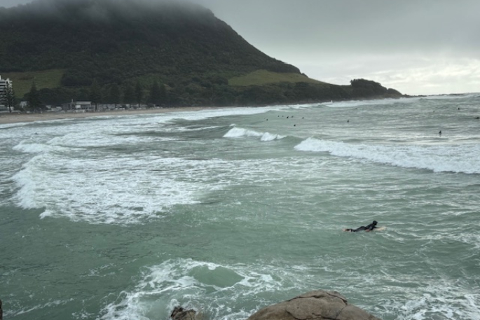
 Mount Maunganui Main Beach on Sunday afternoon April 20, 2025, following ex-tropical cyclone Tam. Photo/Brydie Jordan.
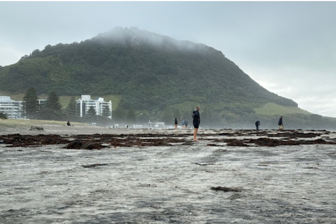
Tuesday April 22
A southwesterly flow is expected to affect the country as cyclone Tam moves away to the east. There is minimal risk of severe weather.
Wednesday
A strong southwesterly flow is forecast to spread north over eastern and central areas but winds are expected to remain below warning criteria. There is minimal risk of severe weather.
Thursday and Friday
A ridge of high pressure will be affecting the country and again there is minimal risk of severe weather.
Temperatures are expected to drop to around 10 degrees Celsius overnight from Wednesday to Friday.
Saturday April 26 and Sunday April 27
Showers are forecast for Saturday, which will be partly cloudy with easterlies. Rain and northeasterlies are expected on Sunday.

0 comments
Leave a Comment
You must be logged in to make a comment.