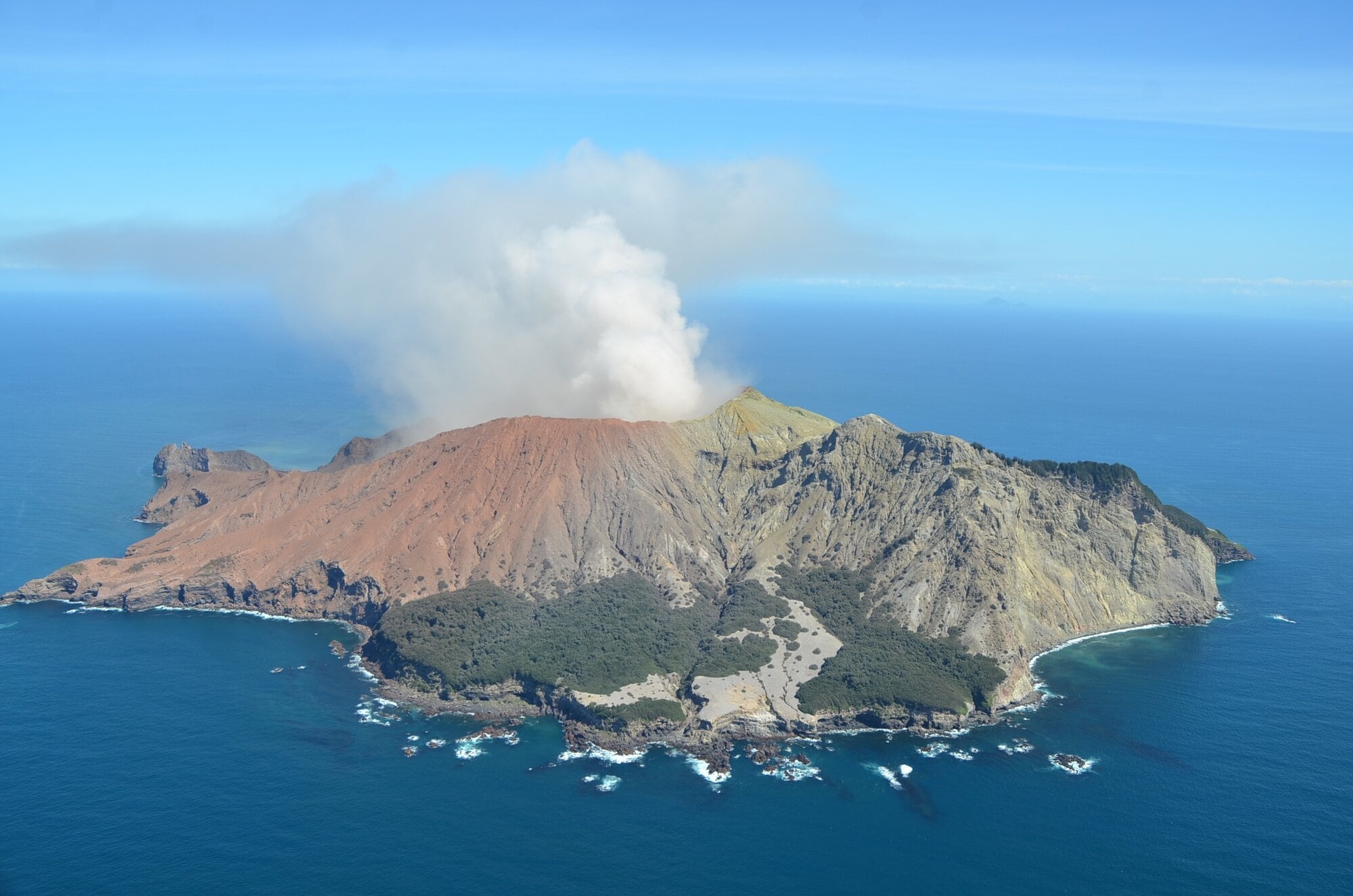
Whakaari/White Island continues to emit intermittent volcanic ash as monitoring agencies confirm the volcano is in a low-energy eruptive phase.
This follows two minor ash-emitting eruptions on October 30, and comes as a coronial inquest into the deadly 2019 eruption of Whakaari continues in Auckland.
Earth Sciences New Zealand duty volcanologist Paul Jarvis said in a Tuesday bulletin the current activity was characterised by a steam and gas plume that sometimes carries minor amounts of volcanic ash.
The ash was often difficult to detect, depending on cloud cover.
The small amount of ash present was unlikely to reach the Bay of Plenty mainland.
Whakaari is located 48km off the Whakatāne coast.
Jarvis said sulphur dioxide was detected in satellite imagery from November 1 to 8, with increased emissions measured during an overflight on November 4.
Wind changes may occasionally blow the plume towards the Bay of Plenty coast and residents could notice sulphur odours, but Jarvis said the likelihood of ashfall would only increase if volcanic activity escalated significantly.
Ash was intermittently detected in satellite imagery between November 2 and 6, and was observed during overflights on November 3 and 4.
No ash has been observed since November 6, although cloud cover may have obscured the island.
The Volcanic Alert Level remains at Level 3, indicating a minor volcanic eruption, and the Aviation Colour Code remains orange.
These levels reflect the low level of activity but also acknowledge uncertainty due to the lack of real-time monitoring data on the island.
Jarvis said monitoring agencies will do a gas or observation flight when conditions allow and will continue monitoring the volcano via remote cameras, satellite imagery and periodic observation flights.
Advice for residents is available from Bay of Plenty Emergency Management, the National Emergency Management Agency and Toi Te Ora Public Health.

0 comments
Leave a Comment
You must be logged in to make a comment.