UPDATE: The MetService is forecasting a moderate risk of thunderstorms for many parts of the North Island this afternoon and everning.
A heavy rain and thunderstorm watch is now in force for the Bay of Plenty.
"These thunderstorms will bring localised heavy rain and hail. In addition, these thunderstorms are expected to be slow-moving, and consequently there is a moderate risk that these storms could become severe, generating localised downpours of 25 to 40 mm per hour, or possibly more.
"The affected areas are Northland, Auckland, Waikato, the Kaimai Range, inland Waitomo, Taumarunui, southern Rotorua, Taupo, Taihape, northern Manawatu and inland Hawke's Bay.
"Rainfall of this intensity can cause surface and/or flash flooding, especially about low-lying areas such as streams, rivers or narrow valleys, and may also lead to slips.
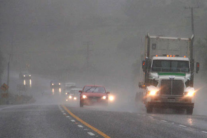
"Driving conditions will also be hazardous with surface flooding and poor visibility in heavy rain."
EARLIER:
Thunderstorms and heavy rain are on the cards for the Bay of Plenty and Coromandel area today.
A heavy rain watch is currently in force for both regions.
'A complex trough moves onto the North Island today, bringing heavy rain to parts of the Island,” says the latest update from the MetService.
'A Heavy Rain Watch for northern Gisborne has now been upgraded to an Orange Rain Warning.
'A Heavy Rain Watch remains in force for the Coromandel Peninsula and a Watch for Heavy Rain is now in force for eastern Bay of Plenty.
'People are advised to keep up to date with the latest forecasts in case any changes are made, or further areas are added.”
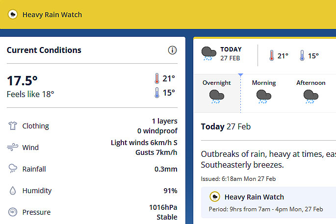
 Image: MetService.
Heavy Rain Watch
Area: Coromandel Peninsula
Valid: 12 hours from 7am Mon 27 Feb to 7pm Mon 27 Feb
Forecast: Periods of heavy rain with possible thunderstorms and localised downpours. Rainfall amounts may approach warning criteria.
Area: Bay of Plenty east of Kawerau
Valid: 9 hours from 7am Mon 27 Feb to 4pm Mon 27 Feb
Forecast: Periods of heavy rain with possible thunderstorms and localised downpours. Rainfall amounts may approach or possibly exceed warning criteria in localised areas.


0 comments
Leave a Comment
You must be logged in to make a comment.