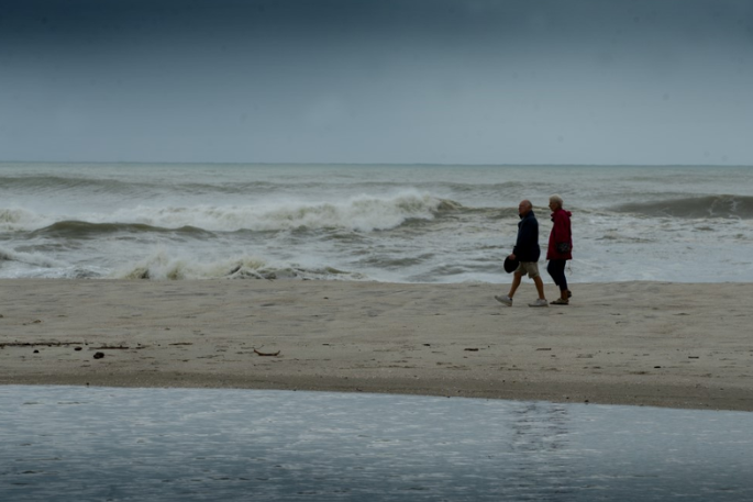
After three years of meddling with New Zealand's weather, La Niña is finally moving away - but not without leaving a damp after-taste in the North Island.
In its just-issued outlook for the next three months, NIWA reported La Niña will finally fade to "ENSO-neutral" conditions this month.
NIWA principal scientist Chris Brandolino says that would mean less rain for the North Island - a welcome prospect after record-breaking heavy rain and Cyclone Gabrielle - but perhaps a bit more for the dried-out South Island.
But La Niña might not depart quietly.

Chris Brandolino Photo: Chris Brandolino.
"Here's the analogy I'll give you," Brandolino told RNZ's Morning Report today.
"Most of us have had Covid. You get that double line, you test positive and after maybe a week or so, most of us start feeling better. And we don't test positive anymore, but we still get a cough. We still have these lingering symptoms of fatigue. And that's what's the same thing with La Niña.
"As we pivot away from La Niña, even though we're going to be exiting, the atmosphere may give us a cough - and that may re-express itself in the form of a tropical cyclone - March or April, maybe a heavy rain event."
ENSO stands for the El Niño Southern Oscillation. When it's neutral, trade winds near the equator blow from east to west. During a La Niña event, they are stronger than usual - pushing warm water from the Pacific toward Asia, Australia and New Zealand, bringing moist, rainy conditions to the north of the country.
"Because we're transitioning out of La Niña, we still may have these La Niña-like features, so we've got to watch out for the odd downpour," Brandolino says. "But the odds or the chances for getting these successive big rainfall events are certainly going to be declining over the next few months. Still there, but declining."
With the easterly winds weakening, more can now come from the west.
"Westerly wind for the South Island increases the odds of rainfall for the west of the South Island," Brandolino says.
But it was difficult to predict just how autumn will play out, he says.
"Autumn is a time when we're segueing from one end of the spectrum to the other. We're going from summer to winter, and during that transition, you know, things are variable inherently, but we're thinking this autumn could be a bit more variable, and that's owing to La Niña kind of pivoting from where we've been for three years."
That potentially means "sharper" cold snaps alternating with "periods of pretty good warmth", with temperatures "near average or above average" overall.
"Mid-winter, early winter, we very well could be in El Niño."
That is when the trade winds severely weaken or even reverse direction, cooling the western Pacific. Westerly winds bring rain to western regions, generally leaving the east dry, while in winter southerly and southwesterly winds deliver cold polar air.
The World Meteorological Organisation (WMO) on Wednesday said it was "likely".
"La Niña's cooling effect put a temporary brake on rising global temperatures, even though the past eight year period was the warmest on record," says WMO secretary-general Petteri Taalas. "If we do now enter an El Niño phase, this is likely to fuel another spike in global temperatures."
Brandolino says as the Earth warms, we could see fewer El Niño phases and more La Niña.
"When you look back over the past 30 or 40 years… we've seen the climate system favour La Niña more potentially than El Niño. And if that were to continue ... for the coming decades, perhaps we'll see less El Niño and more La Niña, which would for us mean perhaps what we've seen recently, perhaps maybe more common.
"These extreme weather events we've seen over the past several months and weeks, these are consistent with our expectations of climate change."


0 comments
Leave a Comment
You must be logged in to make a comment.