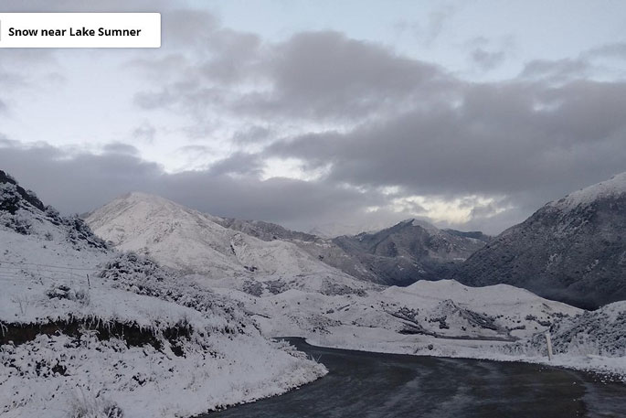
A cold front, which closed several roads over the South Island on Thrusday morning, is moving over the North Island, lowering snow to 5-600m over the lower and central North Island.
MetService is forecasting settled weather behind the cold front today before another set of weather features moves over the country this weekend.
MetService meteorologist April Clark says the settled, but icy, weather is due to a ridge of high pressure which has started to move in behind the cold front.
Skies are expected to clear over the rest of the country today as the ridge moves north.
April says clear skies after this polar blast makes a perfect recipe for freezing overnight temperatures. Many inland regions of the South Island dropped more than a couple of degrees below zero overnight.
Queenstown is looking to plummet to -5C today, which could be their coldest temperature this year so far, but well off their all-time low of -12.2C in July 1995 .
The coldest temperatures in the North Island will most likely happen Saturday morning with Masterton set to drop to -3C.
“The Women’s World Cup quarter finals in Wellington and Auckland on Friday have picked their weather window well; with today’s wet weather forecast to clear by both kick-offs tomorrow. However, layers will be the key, even if the packed stadiums will help raise the cool temperatures by a degree or two!”
Over the weekend a couple of fronts moves northwards over both the North and South Islands, though most of the rain associated with each will be contained to western regions, leaving the east mostly fine.
Both daytime and overnight temperatures make a slight recovery as these fronts move over.
 Image: MetService.


0 comments
Leave a Comment
You must be logged in to make a comment.