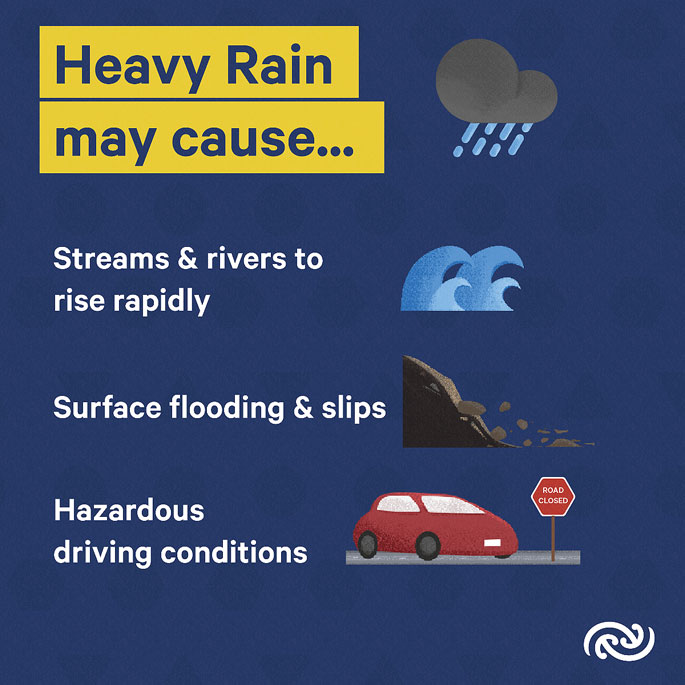
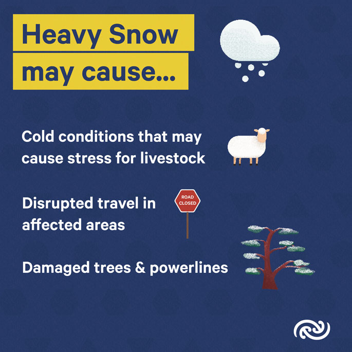
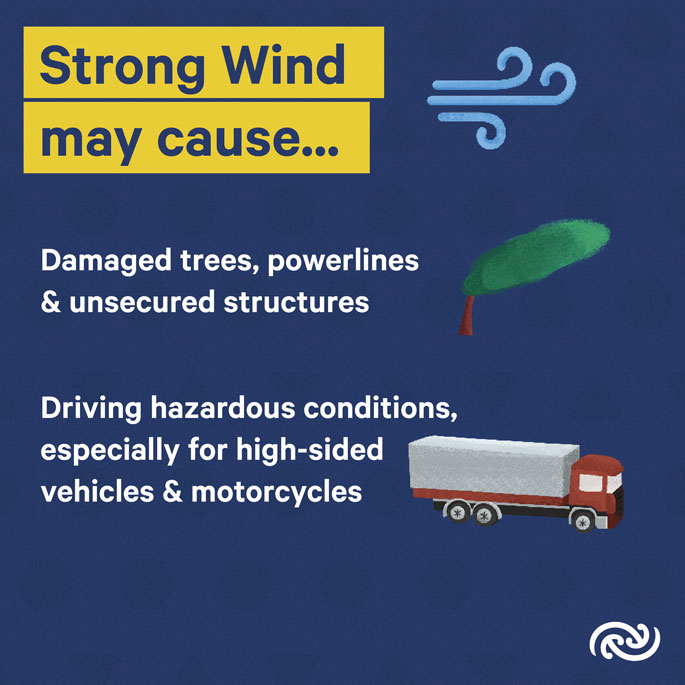
Heavy snow, strong winds, heavy rain, and thunderstorms are all forecast for the end of the working week and into the first weekend of the school holidays.
The active front moving northwards up the South Island continues to cause havoc, with fourteen Severe Weather Warnings and Watches are currently in place in Te Waipounamu/the South Island.
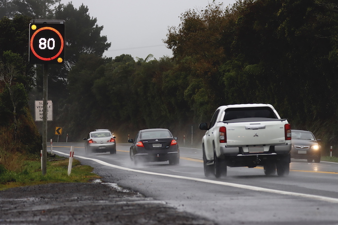
With this weather coinciding with a time where many kiwis will be travelling, the MetService urges everyone to stay up to date with forecasts, watches, and warnings; along with road information from Waka Kotahi.
MetService meteorologist Clare O’Connor offers more detail.
“Overnight we’ve seen widespread disruption resulting from this strong, moist northwesterly flow. Rainfall totals in Fiordland have exceeded 100mm in 12 hours; gusts of 150km/h recorded in Canterbury High Country; and 2500 lightning strikes detected in the southwest of Te Waipounamu/the South Island.”
As the front moves northwards, a southerly change follows behind: Heavy Snow Warnings for inland Canterbury including the Mackenzie Country begin early Friday morning, with up to 40 centimetres of snow expected.
While this will be unwelcome news for the rural community, ski fields in the region will no doubt appreciate the fresh spring snow ahead of the first week of the school holidays.
A drop in temperatures alongside the wind change will be noticeable following days of above average temperatures.
As conditions settle in the south, impacts of the active front will begin to be felt in Te Ika-a-Māui/the North Island.
Heavy Rain Watches have been issued for Taranaki Maunga/Mt Taranaki and the Tararua Range, beginning on Saturday. Metservice will issue additional Watches and Warnings closer to the time, as significant and widespread impacts are possible for the North Island.
“The rain band meets with air originating from the north of New Zealand as it moves on to Te Ika-a-Māui/the North Island, adding even more moist air into the mix, with rain for all corners of the island. The heaviest rain is expected in the second half of Saturday and Sunday morning, likely disrupting travel on what will no doubt be a busy weekend on the roads. Keeping up to date with forecasts as well as road conditions will be imperative this weekend for any families heading away for the school holidays.”
By Sunday night, the front moves to the northeast of /the North Island and becomes slow-moving – uncertainty remains as to the exact location of the front at this time and MetService forecasters are monitoring the situation closely and will issue updates throughout the weekend.


Understanding MetService Severe Weather Warning System
Severe Thunderstorm Warnings (Localised Red Warning) - take cover now:
- This warning is a red warning for a localised area.
- When extremely severe weather is occurring or will do within the hour.
- Severe thunderstorms have the ability to have significant impacts for an area indicated in the warning.
- In the event of a Severe Thunderstorm Red Warning: Act now!
Red Warnings are about taking immediate action:
- When extremely severe weather is imminent or is occurring
- Issued when an event is expected to be among the worst that we get – it will have significant impact and it is possible that a lot of people will be affected
- In the event of a Red Warning: Act now!
Orange Warnings are about taking action:
- When severe weather is imminent or is occurring
- Typically issued 1 - 3 days in advance of potential severe weather
- In the event of an Orange Warning: Take action.
Thunderstorm Watch means thunderstorms are possible, be alert and consider action
- Show the area that thunderstorms are most likely to occur during the validity period.
- Although thunderstorms are often localised, the whole area is on watch as it is difficult to know exactly where the severe thunderstorm will occur within the mapped area.
- During a thunderstorm Watch: Stay alert and take action if necessary.
Watches are about being alert:
- When severe weather is possible, but not sufficiently imminent or certain for a warning to be issued
- Typically issued 1 - 3 days in advance of potential severe weather.
- During a Watch: Stay alert
Outlooks are about looking ahead:
- To provide advanced information on possible future Watches and/or Warnings
- Issued routinely once or twice a day
Recommendation: Plan


1 comment
Irritated
Posted on 23-09-2023 11:19 | By Feruno
It is Really annoying trying to read the article with the Te reo names thrown in. Is it REALLY necessary ??
Leave a Comment
You must be logged in to make a comment.