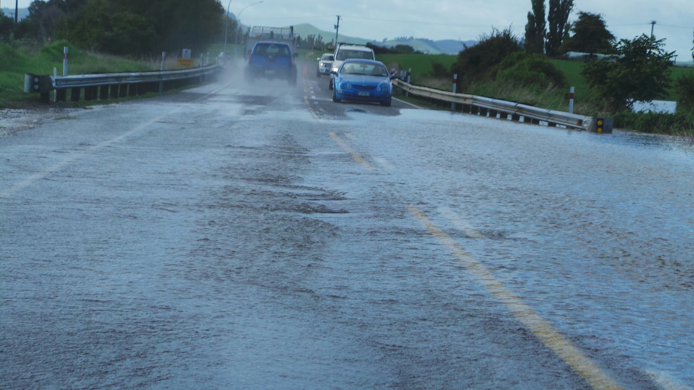
Bay of Plenty residents are being warned a months worth of rainfall could fall in just 24 hours as a potential “atmospheric river” sits over the region.
A heavy rain band had been shifting eastwards across the central North Island early on Sunday.
Metservice was warning the Bay of Plenty east of Matata could expect to 220mm to 320mm of rain to accumulate about the ranges and 150 to 190mm farther west, with peak rates of 20 to 30 mm/h about the ranges during Sunday, and Monday morning.
Gisborne/Tairawhiti north of Gisborne City was expected to get between 220 to 320mm of rain north of Tolaga Bay and 100 to 140mm farther south. Peak rates of 20 to 30 mm/h north of Tolaga Bay were expected during Sunday, and Monday morning.
In a series of Tweets, Niwa said the moisture plume had originated near Fiji, and would reach the thresholds needed to qualify as an atmospheric river.
“Rainfall forecasts suggest over a month's worth of rain is possible in the northeastern North Island. The risk for flooding is being monitored.”
Significant amounts of rain have already fallen in the Gisborne ranges, with more to come...
— NIWA Weather (@NiwaWeather) September 23, 2023
Well above normal to extremely high river flows are expected, particularly on Monday, which suggests river flooding is a possibility
Don't attempt to cross flooded roads! https://t.co/CDkcXe14zT pic.twitter.com/XuD4UgN4Ll
Significant amounts of rain had already fallen in the Gisborne ranges and river flows were expected, particularly on Monday, which suggests river flooding is a possibility.
Bay of Plenty Civil Defence warned residents to keep an eye out on the forecast and be prepared for power outages and hazardous driving conditions.
”We are well practised with these weather events in the Bay, and as we know it’s always important to be prepared,” it said in a Facebook post.
After crossing the North Island, a slow-moving rain band is forecast to become stalled in the east from late Sunday through Monday...
The rain band will get halted by an "atmospheric stop sign " (blocking high pressure) & produce heavy rainfall in Bay of Plenty & Gisborne. pic.twitter.com/BxnAwQpifW— NIWA Weather (@NiwaWeather) September 23, 2023
Road snow warnings were also in place in the South Island. Snow was expected at Lewis Pass (SH7) from 6am-11am and Arthur's Pass (SH73) and Porters Pass (SH73) from 4am - 11am.
The rain comes after a soggy start to the weekend for many.
Wellington Electricity’s website said wild weather last week combined with heavy rain on Saturday night had resulted in small, localised power outages for customers primarily within the CBD.
On Sunday morning, there were about 80 customers without power.
“Right now our crews are prioritising any faults which present serious safety risks, followed by restoring supply to any customers without power. Other faults such as sagging lines will be checked on next,” the website said.
“We may have to turn off power to some areas, so our crews can safely fix any damage, before restoring power.”
Queenstown and Southland’s local state of emergencies were lifted on Saturday afternoon after heavy rain battered the regions causing flooding and evacuations.
Queenstown recorded its wettest 24-hour period in 24 years after 87mm of rain fell between 9am Thursday to 9am Friday, according to Niwa.


0 comments
Leave a Comment
You must be logged in to make a comment.