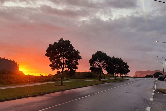
The weather across the North Island is looking good for Wednesday, however by Thursday, it will start to turn, as bad weather is forecast to roll in from the west, says MetService meteorologist John Law.
“For places like Northland and Auckland, we could see some strong winds and reaching gales at times,” says John.
He says southern Taranaki, Wanganui, and Wellington could see similar conditions.
The rain and wind is set to continue to move east on Friday.
“Places like the Bay of Plenty, Waikato and Auckland could well find some heavier rainfall,” says John.
“It’s a situation to be aware of, but it’s looking like there will be some heavy rainfall by Thursday and Friday.”
Significant heavy rain for the Westland District continues on Thursday
On Thursday a low over the Tasman Sea will be approaching New Zealand while an associated front moves onto the country.
Strong northerlies and rain are expected to spread onto the North Island with strong and relatively cold southerlies developing over the southern half of the South Island. Heavy Rain Warnings and Watches are currently in force.
Rain is expected to affect the Westland District south of Hokitika, Fiordland and also spill over into the Canterbury and Otago headwaters, while confidence is moderate for northern Tasman, Nelson, western Marlborough, the Buller and Grey Districts and the remainder of the Westland District, also Southland and Clutha.
For Mount Taranaki and Northland about and north of Whangarei, there is low confidence that a rain warning will be needed.
Additionally, for Thursday, there is moderate confidence of severe northerly gales for central and southern Marlborough and the Canterbury High Country, and low confidence of severe northerly gales affecting southern Taranaki, Whanganui, Taihape, Wellington, southern Wairarapa, northern Marlborough, Nelson/Tasman and the Buller District.
Finally, on Thursday, there is low confidence of severe gale northeasterlies in exposed parts of Northland and northern parts of the Auckland region.
On Friday, April 12, a large complex trough of low pressure is expected to affect the country.
Cool southerly winds are likely to spread up the South Island, with snow possibly affecting higher roads and passes in the far south.
There is moderate confidence of warning amounts of rain about central areas of the North Island from Taranaki to Bay of Plenty and Coromandel Peninsula, especially about the hills and ranges.
For northern Tasman, Nelson and northwest Marlborough there is also moderate confidence that a rainfall warning will be needed.
Meanwhile,on Friday, there is low confidence that warning amounts of rain will affect most of the north and central North Island as depicted on the chart, and also the Tararua Range.
In addition, there is low confidence that severe north to northeast gales will affect Auckland, Coromandel Peninsula, Bay of Plenty across Gisborne/Tairawhiti to northern Hawke's Bay, and also Taupo, Taihape and South Taranaki.
On Saturday, April 13 the complex trough of low pressure is expected to weaken and move away to the east, followed by a relatively settled southwest flow across New Zealand.
There remains low confidence of warning amounts of rain for the eastern Bay of Plenty ranges, and the far north of Gisborne/Tairawhiti, the Tararua Range, northwest Marlborough, northern Tasman, and the Buller District during the first half of the day.
On Sunday, April 14, a large ridge of high pressure is forecast to build across New Zealand and there is minimal risk of severe weather.


0 comments
Leave a Comment
You must be logged in to make a comment.