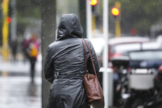
Bay of Plenty and Coromandel residents are being advised to prepare for heavy rain this weekend.
The MetService is forecasting heavy rain for parts of the country and has issued a fresh batch of heavy rain watches for the region.
"An active front is expected to move over the country during the weekend bringing heavy rain to northern and western regions.
"Heavy rain watches are now in force for Northland, Coromandel Peninsula, Bay of Plenty, Mount Taranaki and northwest Tasman.
"Please keep up to date with the latest forecasts."
Heavy Rain Watch
Area: Northland north of Whangarei
Period: 15 hours from 9pm Sat 22 Jun to 12pm Sun 23 Jun
Forecast: Periods of heavy rain, and amounts may approach warning criteria.
Low chance of upgrading to a Warning.
Area: Coromandel Peninsula, and Bay of Plenty about and west of Kawerau
Period: 15 hours from 3am Sun 23 Jun to 6pm Sun 23 Jun
Forecast: Periods of heavy rain, with thunderstorms possible. Rainfall amounts may approach warning criteria.
Note, heavy rain is expected to ease about Coromandel Peninsula early Sunday afternoon.
Low chance of upgrading to a Warning.
Area: Bay of Plenty east of Kawerau, and Gisborne/Tairawhiti north of Ruatoria
Period: 15 hours from 9am Sun 23 Jun to 12am Mon 24 Jun
Forecast: Periods of heavy rain, with thunderstorms possible. Rainfall amounts may approach warning criteria.
Moderate chance of upgrading to a Warning.
Area: Mount Taranaki/Taranaki Mounga
Period: 18 hours from 6pm Sat 22 Jun to 12pm Sun 23 Jun
Forecast: Periods of heavy rain, and amounts may approach warning criteria.
Moderate chance of upgrading to a Warning.
Area: Tasman about and northwest of Motueka
Period: 33 hours from 9am Sat 22 Jun to 6pm Sun 23 Jun
Forecast: Periods of heavy rain, and amounts may approach warning criteria, and possibly exceed criteria during the period from late Saturday to Sunday afternoon.
High chance of upgrading to a Warning.
Impact: Streams and rivers may rise rapidly. Surface flooding, slips, and difficult driving conditions possible.
Action: Clear your drains and gutters to prepare for heavy rain. Avoid low-lying areas and drive cautiously.

0 comments
Leave a Comment
You must be logged in to make a comment.