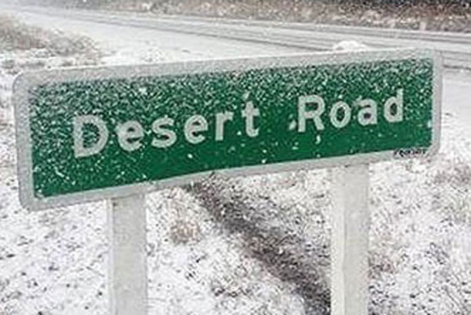
Update, 8.30pm: MetService has issued a road snowfall warning for State Highway 1/Desert Road.
"Snow showers may affect the summit of the Desert Road, where 1 cm or less of snow could accumulate," says a MetService spokesperson.
The road snowfall warning is valid for six hours from 1pm - 7pm, Tuesday, July 2.
Earlier, 8.10pm: MetService has issued a Severe Weather Warning with heavy rain forecast for the ranges of eastern Bay of Plenty and inland Gisborne/Tairawhiti.
"An active front, preceded by strong northwesterlies, moves eastwards across the northeast of the North Island tonight - Monday - and overnight," says a MetService spokesperson.
"This front is bringing a burst of heavy rain to the ranges of eastern Bay of Plenty and inland ranges of Gisborne/Tairawhiti, where a Heavy Rain Watch is in force."
People are advised to keep up to date with the latest forecasts.
A Heavy Rain Watch has been issued for the eastern ranges of Bay of Plenty and the inland ranges of Gisborne/Tairawhiti. This is valid for either hours from 7pm Monday, July 1, to 3am, Tuesday, July 2.
"[Expect] a period of heavy rain, and amounts may approach warning criteria."
Watches no longer in Force:
The Heavy Rain Watch has been lifted for The Tararua Range. Heavy rain has eased.
The Strong Wind Watch has been lifted for Wairarapa south of Carterton. Northwest gales have eased.
The Heavy Snow Watch has been lifted for Central Otago from Lake Wanaka northwards, also the Mackenzie Basin. Heavy snow is no longer expected.
Warnings no longer in Force:
The Strong Wind Warning has been lifted for South Taranaki, Taihape and inland Whanganui. Northerly gales have eased.
The Heavy Rain Warning has been lifted for Mount Taranaki/Taranaki Maunga. Heavy rain has eased.
The Strong Wind Warning has been lifted for Wellington. Severe northwest gales are no longer expected.

0 comments
Leave a Comment
You must be logged in to make a comment.