Southerly outbreaks have kept snow seekers in the far south happy over the past several days and MetService is forecasting more snow to kick off this week as cold air sweeps up the country.
A number of regions are at risk of seeing thunderstorms today with hail and gusty winds potentially accompanying heavy showers.
More fast-moving rain bands are forecast through the second half of the working week.
Another Heavy Snow Watch was issued for areas south of Queenstown from on Monday evening until Tuesday morning.
However, this time around the cold air and snow potential spreads up to the North Island with a Heavy Snow Watch in force for parts of Taihape above 700 metres between 10am – 6pm Tuesday.
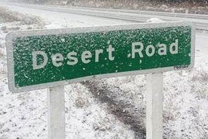
This relatively widespread risk of snow has meant the Severe Weather team has issued Road Snowfall Warnings across all the roads the MetService cover.
"So, if you’re driving over one of the higher roads before Wednesday, check our Warnings page to see if snow is forecast," said the MetService.
The band of rain passed over the North Island on Monday bringing the risk of thunderstorms to Taranaki, Northland, Auckland, Coromandel and coastal Bay of Plenty.
The MetService said heavy rain will accompany the thunderstorms but for Northland there is also the potential for vigorous gusts.
On Tuesday as the cold air passes over the North Island this also brings about risk of thunderstorms and hail.
"As the cold front passes over the country from late tonight through Tuesday there’s a burst of strong south/southwest winds which will only add to the wintry feeling weather," said MetService meteorologist Lewis Ferris.
"This will be especially noticeable across Northland and Auckland where hail and gale southwest winds will accompany below average temperatures."
The cold air moving up the South Island will bring another top up of snow but also hazardous driving conditions on Tuesday.
Frosts will also be back on the cards Tuesday morning but more widespread on Wednesday morning. Queenstown has a forecast high of just 6°C on Tuesday but most places rebound back to average temperatures on Wednesday.
"Generally, we see a slight easing in the nation’s weather on Wednesday but it’s a brief respite as more showers pile on to the North Island from the west while more persistent rain falls on the west coast of the South Island on Thursday. Friday brings yet another band of rain across the country from the west."
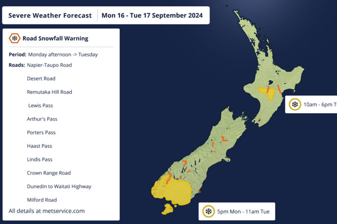 Image: MetService.

0 comments
Leave a Comment
You must be logged in to make a comment.