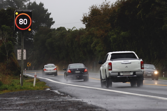
MetService is forecasting a period of heavy rain for the upper half of the North Island today with thunderstorms and localised downpours possible as an area of low pressure descends from the northern Tasman Sea.
Associated with the passage of the low is a - Heavy Rain Watch, currently in place, stretching from the Coromandel Peninsula to Gisborne/Tairāwhiti, covering the Bay of Plenty.
Meanwhile, rain moves up the West Coast.
Tomorrow, more settled conditions develop for the North Island as a ridge takes hold and scattered shower for the South Island as the rain band from the day before eases and becomes stationary.
Looking to the weekend we see the mercury rise for much of the country especially in the east as warm and humid westerlies spread east.
Those westerlies provide a resurgence for the stalled rain band, bringing a wet Saturday to the West Coast with patchy showers south of Marlborough.
“For those on the North Island looking to enjoy summertime activities such as watching the Black Caps play in Hamilton or joining in on the Christmas in the Park festivities in Auckland, conditions are set to be fine, if a bit muggy,” said MetService meteorologist Alec Holden.
Sunday looks much that same as the day before, with rain is set to ease for the West Coast and temperatures across the South Island track closer to what we’d expected to see at this time of year.
Showers and rain greet many at the start of the next working week as the ridge over the North Island breaks down.
The stalled front lingering over the South Island finally moves north bringing a change to southwesterly winds, dropping the temperatures for Canterbury southward.


0 comments
Leave a Comment
You must be logged in to make a comment.